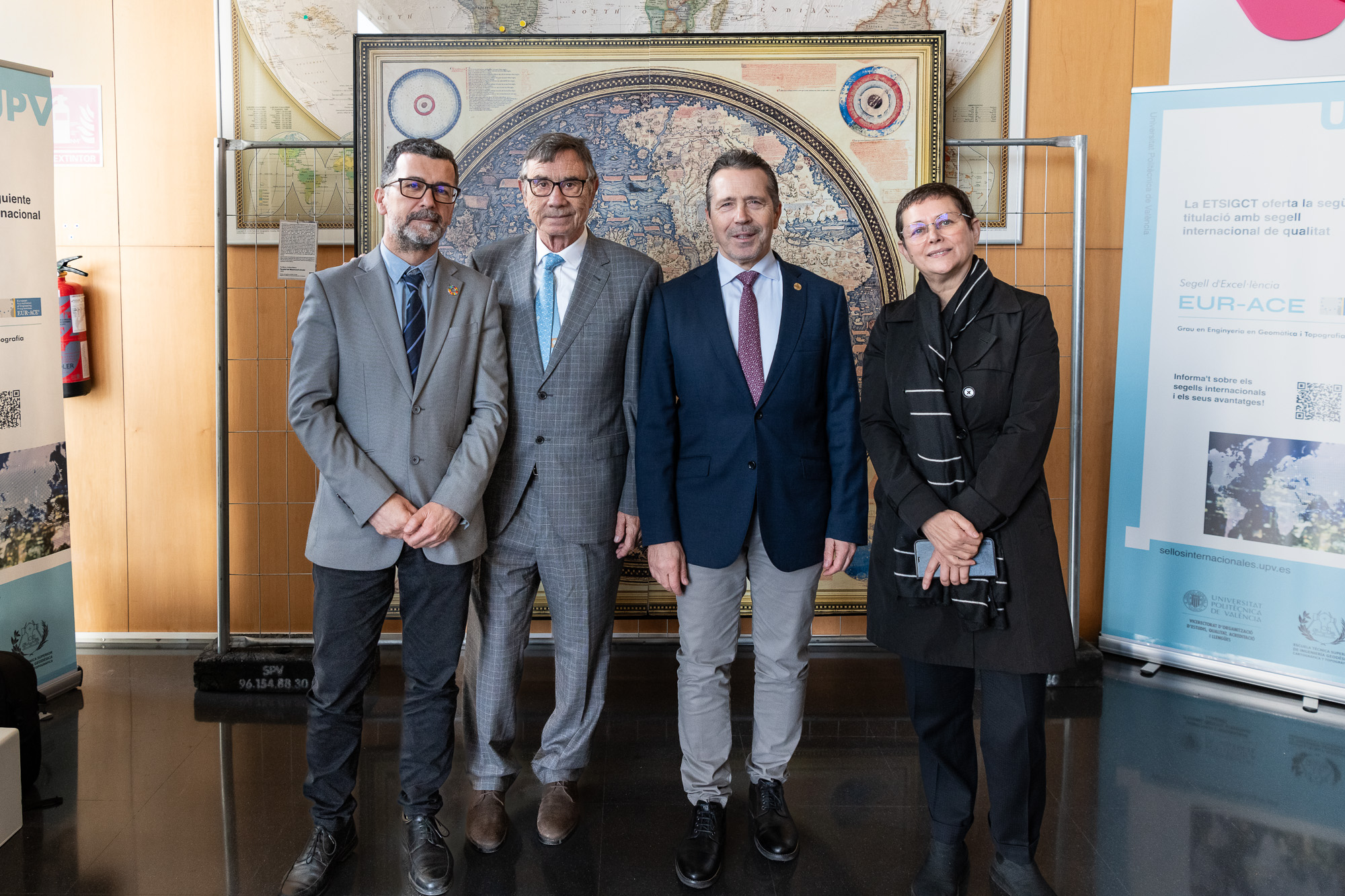
The CGAT group of the DICGF together with the ETSIGCT creates a map of the flooding in l’Horta Sud after the episode of October 29, 2024.

The  Geoenvironmental Cartography and Remote Sensing Group (CGAT) del  Cartographic Engineering, Geodesy and Photogrammetry Department(DICGF) of the Universitat Politècnica de València (UPV), together with the  ETSI Geodesic, Cartographic and Topographic ETSI(ETSIGCyT), has elaborated this map of the flooding depths in l’Horta Sud […]

Graduation Ceremony 2023-2024

XI Promotion Degree in Geomatics and Topography Engineering. IX University Master’s Degree in Geomatics and Geoinformation Engineering. On July 12, 2024 took place the graduation ceremony of the XI Promotion Degree in Geomatics and Surveying Engineering and the IX Promotion […]