

The main mission of the Soils, Water and Cartography Research and Innovation Group is to generate scientific knowledge and develop advanced technological solutions for the sustainable management of natural resources. Our work combines physicochemical and biological analyses of soils and water with digital mapping and environmental modeling techniques to support public institutions, businesses, and the scientific community.
We have several facilities equipped to perform specific analytical procedures: a soil physics laboratory, a soil and water chemistry laboratory, and a sample preparation laboratory. Our facilities also include a greenhouse with six soil plots and a tray-support table for conducting rainfall simulation and erosion measurement experiments; a structure for measuring water erosion using photogrammetry; a tube-rack structure for soil leaching experiments; and adjacent field plots for agronomic trials.
Our equipment includes soil augers, standard sampling rings, sieve sets, and a ball sieve for soil sampling and preparation; field sensors and probes for measuring moisture, temperature, respiration, pH, and electrical conductivity in soils and/or water; and a climate chamber for storing soil, water, and plant material samples under controlled temperature and humidity conditions.
We also have a wide range of equipment for testing and determining the physical, chemical, and biological properties of soil and water samples, including shakers, water baths, a fume hood, centrifuges, balances, drying ovens, a muffle furnace, a mercury porosimeter, a constant-head permeameter, an aggregate stability shaker, laboratory conductivity and pH meters, a Kjeldahl distillation unit, and a colorimeter, among other instruments. We also have a total organic carbon (TOC) analyzer for soil and water samples.
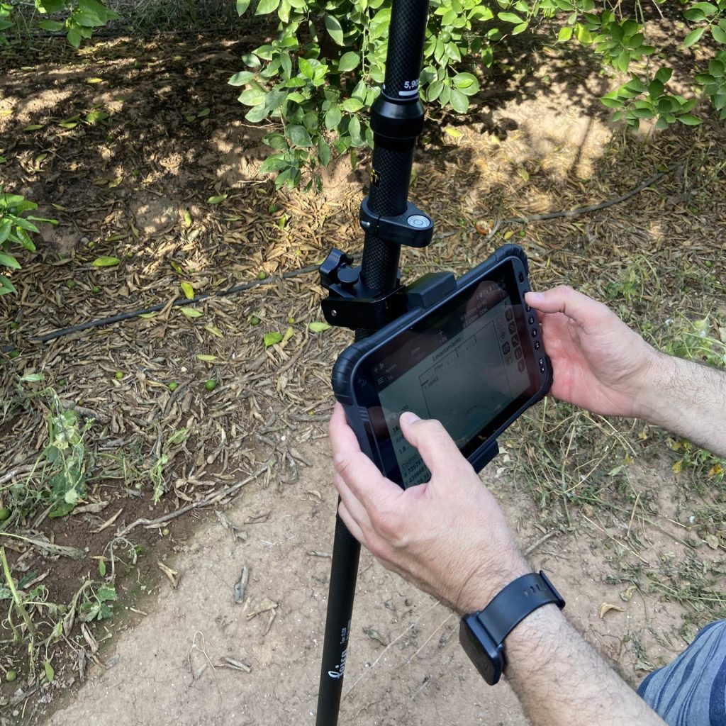
Our field equipment is complemented by Real-Time Kinematic (RTK) Global Navigation Satellite System (GNSS) receivers for the precise positioning of field sampling points and an unmanned aerial vehicle (UAV) equipped with optical and multispectral cameras for image acquisition. We also use Structure from Motion (SfM) and Geographic Information System (GIS) software to process aerial imagery and create digital terrain models for photogrammetry and remote-sensing applications.
Research Areas
- Assessment of the impact of new organic-based products on soil properties and quality.
- Assessment of techniques and measures for the recovery and restoration of degraded areas.
- Assessment and characterization of soil and water quality.
- Impact of climate change on agroforestry ecosystems.
- Modeling of environmental variables using photogrammetric and remote-sensing techniques.
Services
- Technological consulting on soil quality improvement.
- Assessment of the effects of amendments and bioproducts on soil properties.
- Soil fertility assessment and agronomic recommendations.
- Soil carbon sequestration assessment.
- Diagnosis of soil degradation caused by erosion.
- Rainfall simulation experiments.
- Analysis of pollutants and heavy metals.
- Soil quality monitoring in agricultural, forest, and industrial areas.
- Preparation of agro-environmental reports.
- Monitoring of restoration measures.
- Water quality assessment.
- Assessment of land degradation processes, including salinization and contamination.
- Preparation of thematic maps covering soils, hydrology, land use, and natural hazards.
- Geographic Information Systems (GIS) and advanced spatial analysis.
- Processing of satellite, UAV, and LiDAR imagery.
- Development of 3D digital terrain models.Integration of geospatial data to support decision-making.
- Research projects involving agroecosystems, ecological restoration, and climate change.
- Collaboration with universities, public authorities, and businesses.
- Technical education and specialized training.
- Development of prototypes and digital tools, including apps and online map viewers.