Rapid flood mapping using SAR images
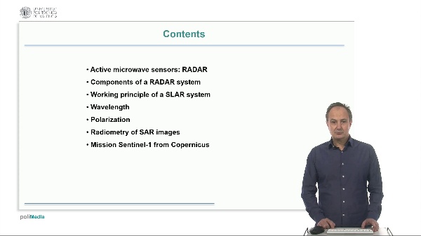
This video describes a methodology for rapid flood mapping using synthetic aperture radar images (SAR), and shows a case study. First, a description of the preprocessing steps of SAR images (radiometric and geometric corrections and statistical filters to reduce speckle noise). Two change detection methods are explained. A description of evaluation indices which can be used in change detection, and finally a case study of flood mapping using Sentinel-1 images. Ruiz Fernández, LÁ. (2024). Rapid flood mapping using SAR images. https://riunet.upv.es/handle/10251/204380 DER


